Welcome to Rosebud County
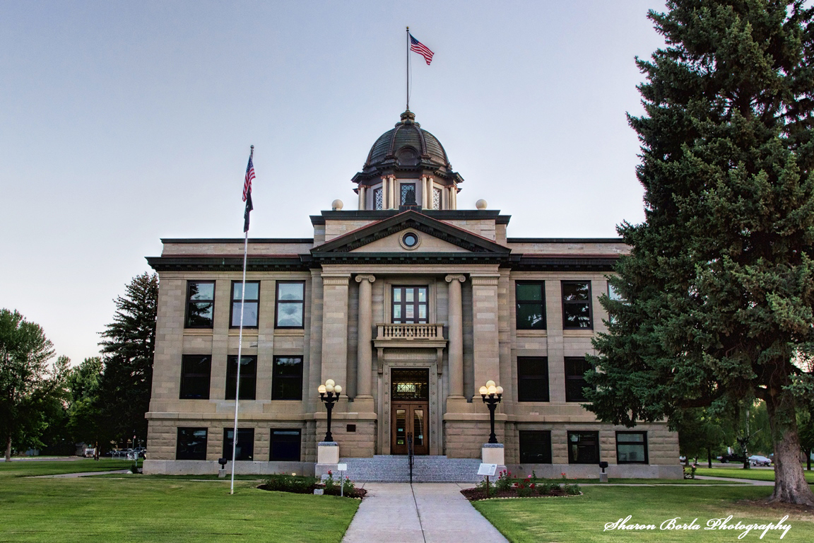
Rosebud County was established on February 1, 1901 and is located in Southeastern Montana covering approximately 5,027 square miles (5,010 square miles is land and 17 square miles is water). The county Courthouse began construction in Forsyth in 1912, for more history on our Courthouse visit our Resource page. Rosebud County is Montana’s twenty-second most populous county, with an estimated population of 8,329 as of the latest census in 2020.
Other cities and towns in Rosebud County include Angela, Ashland, Birney, Colstrip, Hathaway, Ingomar, Lame Deer, Rosebud, and Sumatra. A large portion of the Northern Cheyenne Indian Reservation lies within Rosebud County.
- Rosebud County is the fourth largest County by land area in the State of Montana.
- Topography of Rosebud County is mostly rolling with small hills. Elevations range from 2,441 feet above sea level near Hathaway to 4,807 feet above sea level in the Little Wolf Mountains west of Colstrip.
- The County’s leading source of income are from agriculture, tourism, railroad, coal mining and electrical generation.
- There are 1,165 miles of County road.
- Medical facilities are located in Ashland, Lame Deer, Colstrip and Forsyth.